Lesson 1: Packing for an expedition Key Stage 1 & 2: English
Understanding the importance of the Nansen cooker in polar expeditions then and now
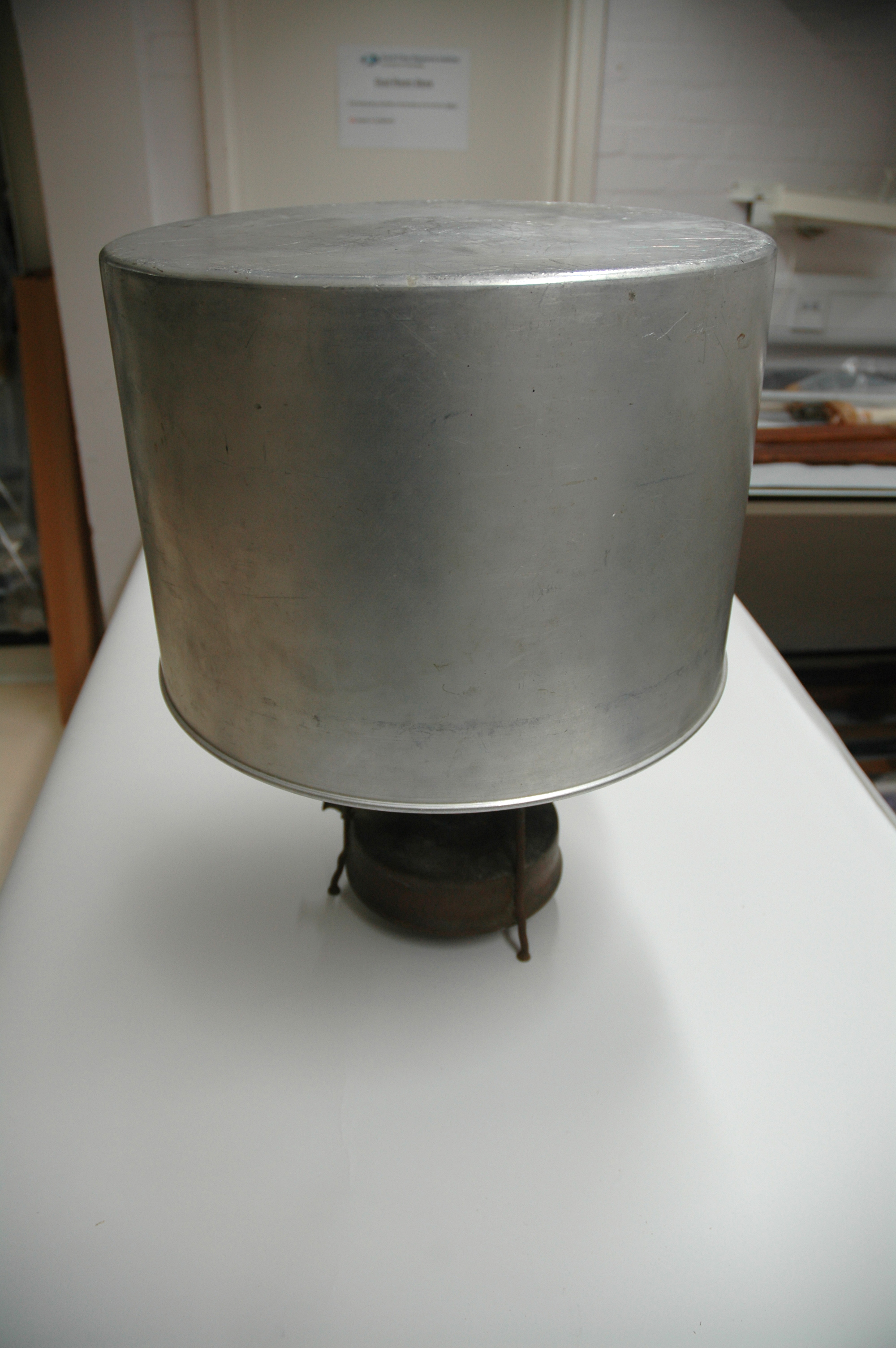
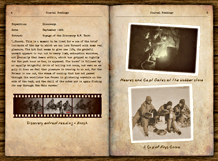
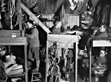
Cooking in polar climates.
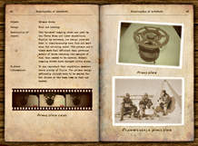
The "primus" camping stove was used by the Terra Nova and later expeditions. Fuelled by kerosene, its design provided heat to simultaneously heat food and melt snow for drinking water.
The primus was 6 times more fuel efficient than previous models of stove reducing the amounts of fuel that needed to be carried. Modern camping stoves have changed little since.
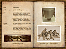
The Nansen cooker was used alongside the primus camping stove because it was an efficient way of cooking food and melting snow for water at the same time and it also kept the tent warm as it was heating up the meal.
The Nansen cooker's multi-use nature meant that it was ideal for use on polar expeditions. It was compact and was made of lightweight aluminum which allowed it to be easily packed and carried on a sledge. It allowed people to travel much further distances than before in the Antarctic.
Download lesson plan:
Purpose of study:
Geography - Inspire in pupils a curiosity and fascination about the world and its people that will remain with them for the rest of their lives. Teaching should equip pupils with knowledge about diverse places, people, resources and natural and human environments, together with a deep understanding of the Earth's key physical and human processes.
| National Curriculum Aims / Attainment Targets | Activity focus |
|---|---|
Geography:
KS1 –Place knowledge
|
|
|
KS2 - Locational knowledge
Human and physical geography
Geographical skills and fieldwork - Use maps, atlases, globes and digital/computer mapping to locate countries and describe features studied. |
|